Note: CLOSED
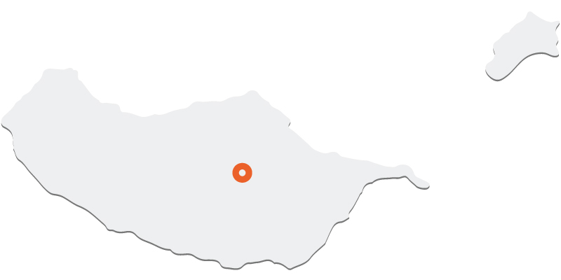
This route starts on the Paul da Serra plateau, more specifically at Bica da Cana, and along its course you can see various geomorphological and geological samples that attest to the existence of a glacier in Paul da Serra, made up of a plateau ice field that reached its peak during the Last Glacial Maximum, around 25,000 years ago.
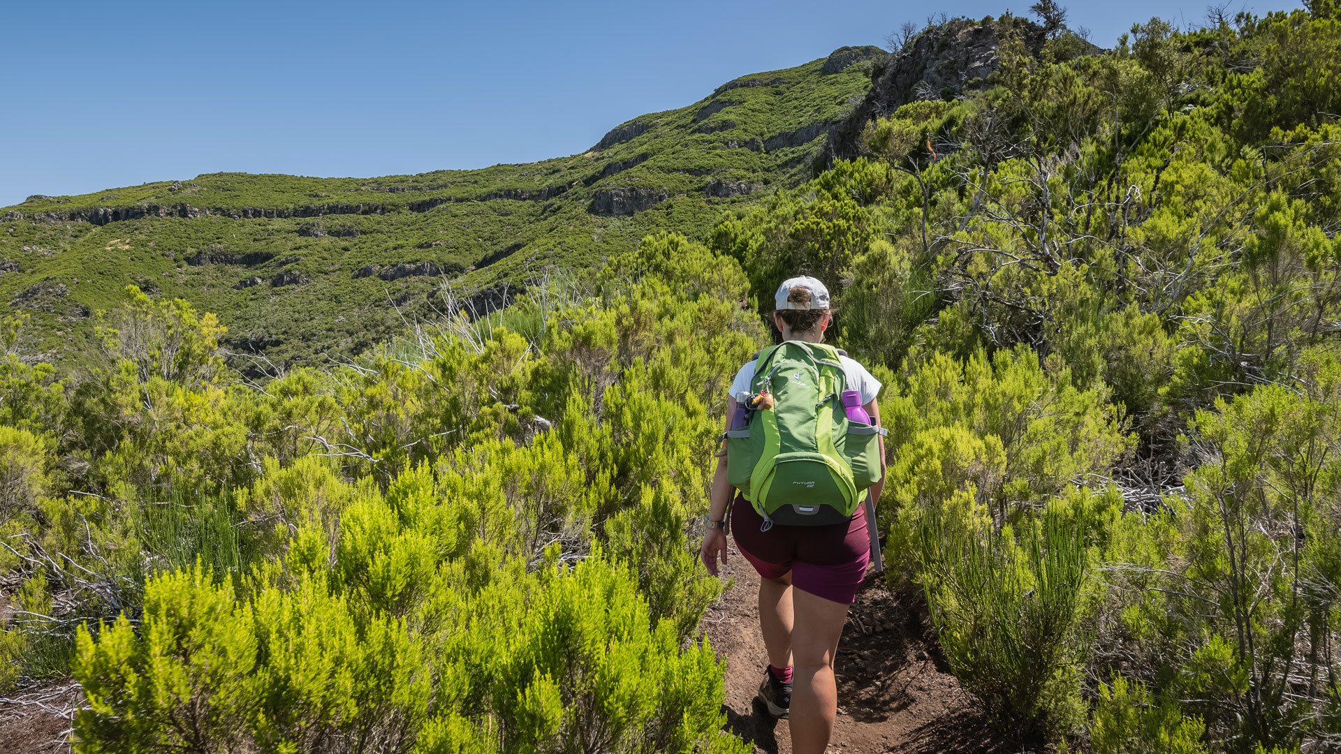
The start of the hike along the Glaciar de Planalto follows along a shallow glacial valley with a rounded, U-shaped cross-section, from where you can see a circular depression known as a pit or basin of subglacial erosion. Afterwards, it is time to climb to the eroded top of an ancient basaltic cinder cone (Fonte do Juncal) formed by a volcanic eruption that occurred in the Middle Pleistocene (1.8 million years to 774,000 years ago). From here, you can contemplate the plateaued landscape of Paul da Serra.
On the way down the cone, it is possible to visit the Miradouro das Rabaças, from where you have a privileged view over the headwaters of the Ribeira da Ponta do Sol river valley and the moraine deposits, made up of large basalt blocks and columns. At the end of the route, there is a glacial cirque (Fajã Redondo) at Sítio das Pedras, a site of exceptional geological and scientific value, where you'll find the ruins of corrals once used for traditional shearing.
Details
Distance: 4.6 km (VW)
Duration: 1:30 hours
Start/End: Bica da Cana / ER105
Max. Altitude / Min. Altitude: 1588 m / 1457 m
IFCN Madeira
Rua João de Deus 12 F, RC C
9050-027 Funchal
9050-027 Funchal


