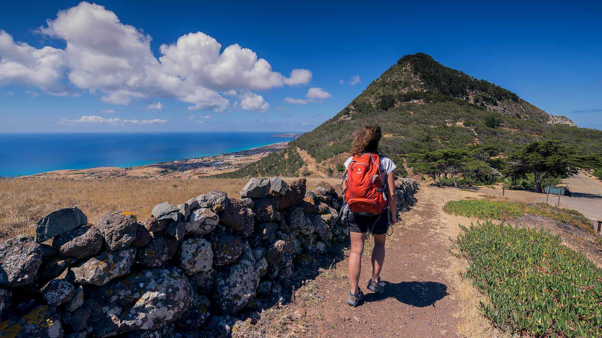
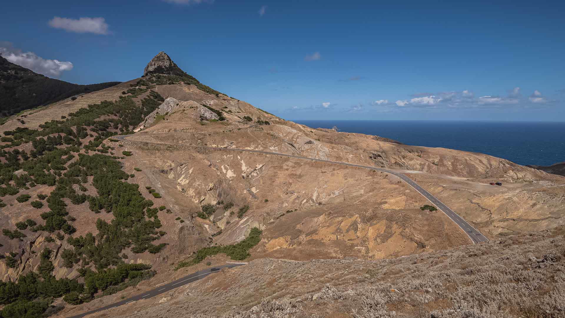
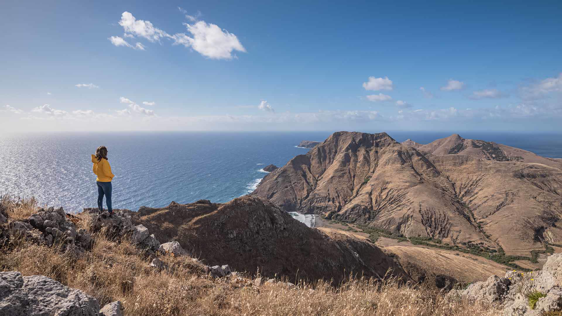
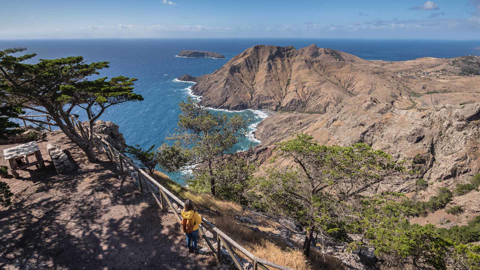
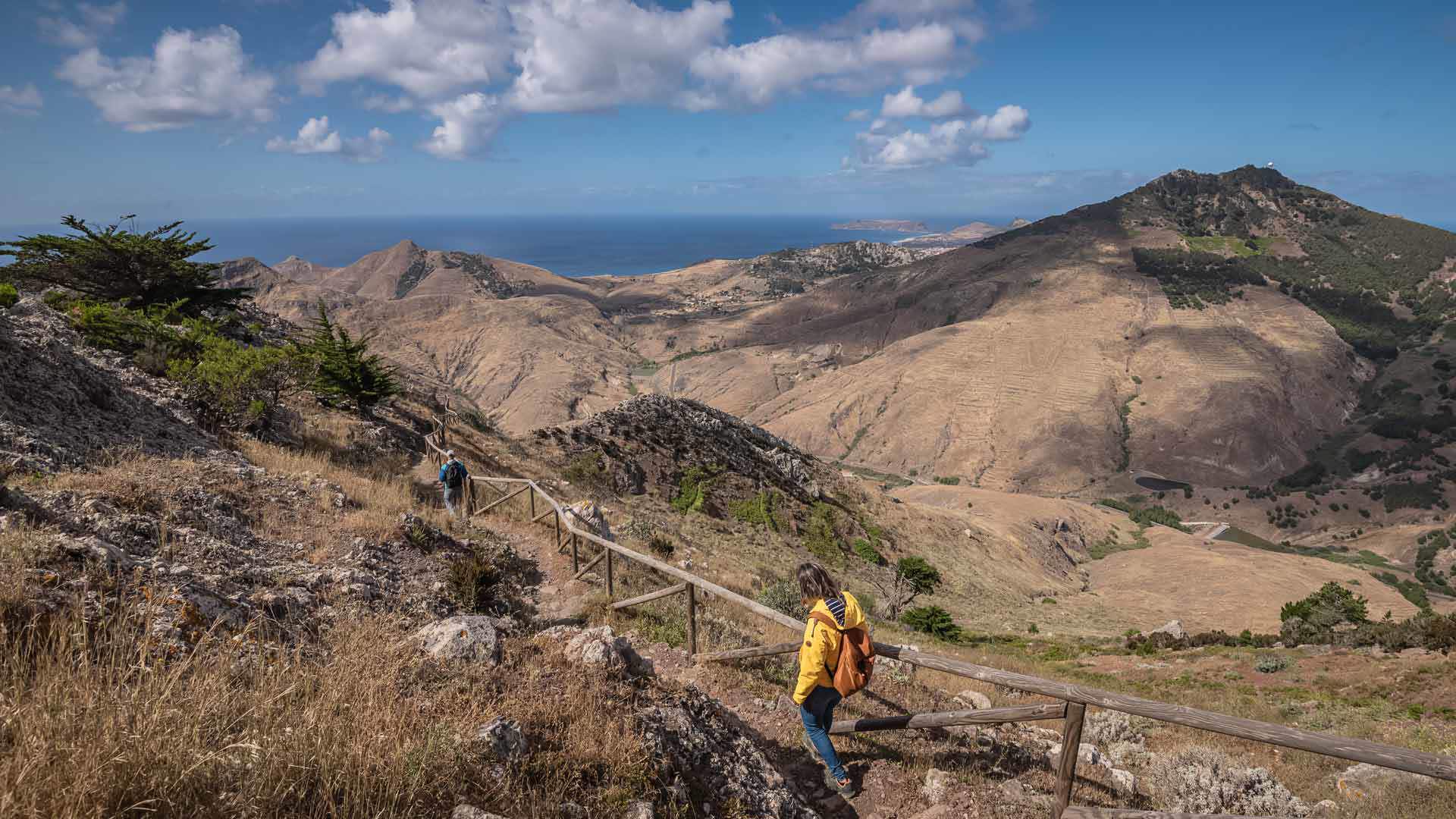
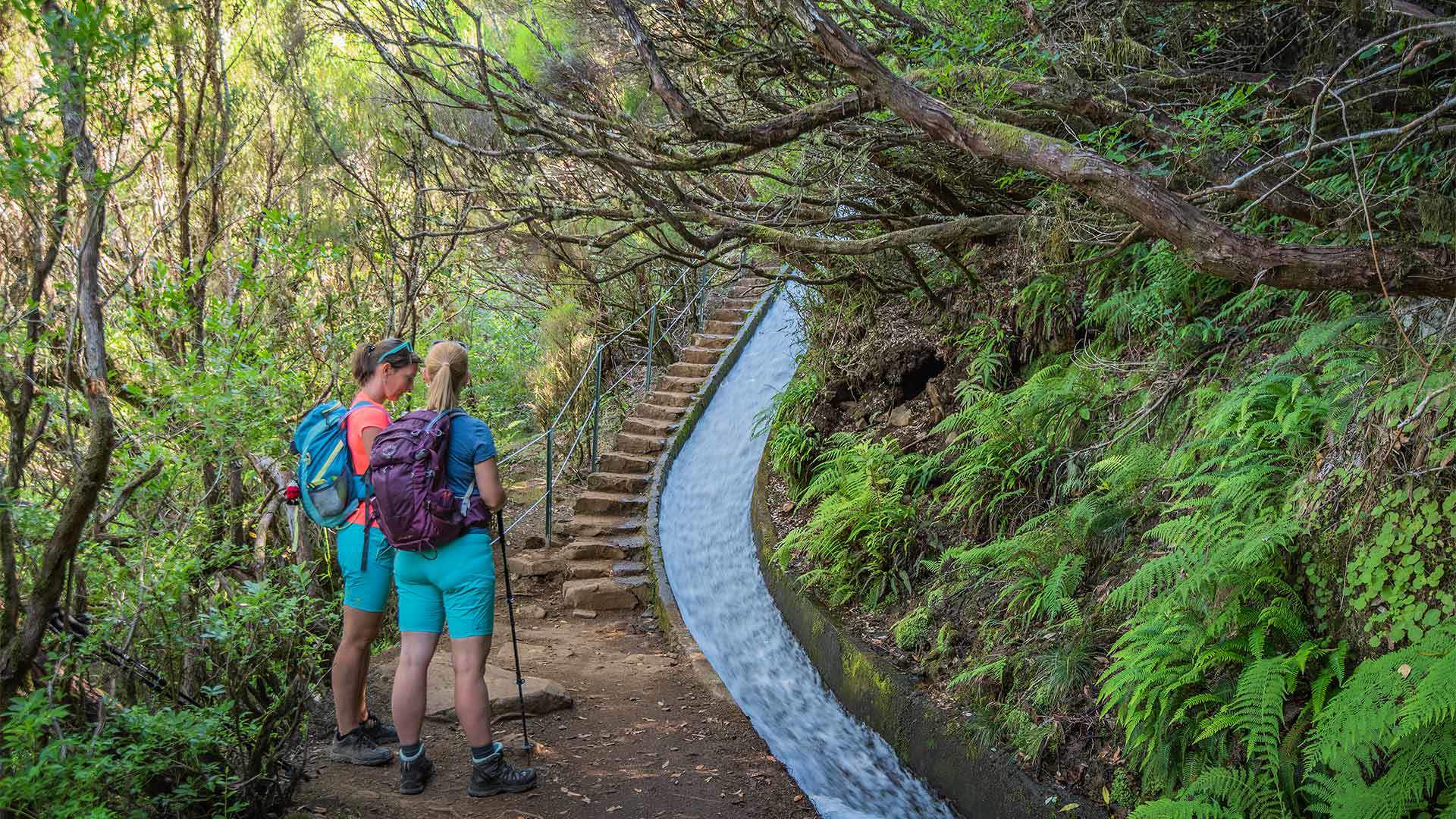
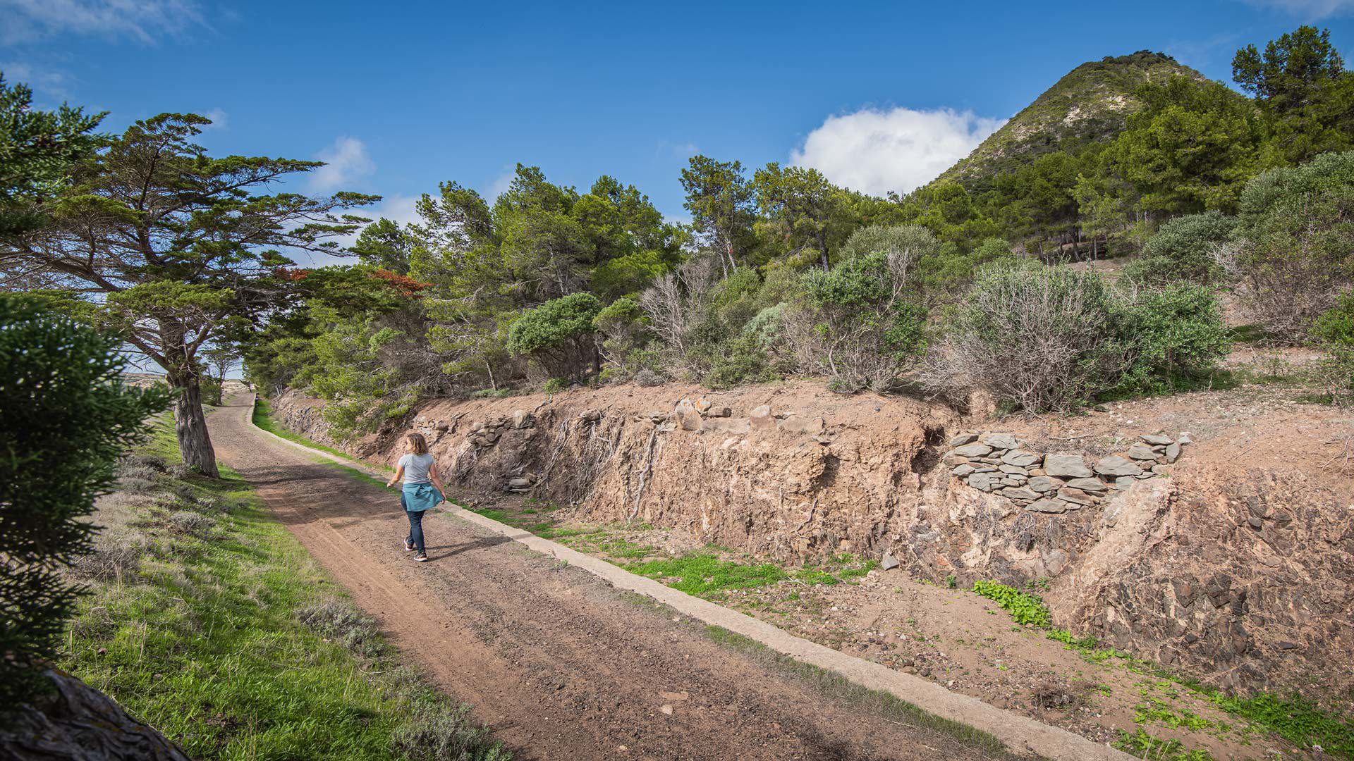
Vereda do Pico Branco e Terra Chã, which is 2.7 km long (+ 2.7 km return) and takes 1:30 hours (one way), will lead you to discover the diversity of the indigenous flora and privileged views over the island of Porto Santo.
Originally designed to give way to cargo mules, this trail begins at regional road ER 120, following the way that leads to the second highest point of the island, Pico Branco.
Along Vereda do Pico Branco e Terra Chã you will find an enormous prismatic geological formation, called Rocha Quebrada, in which the trail was carved.
After a climb, which ends at a rock fissure at Cabeço do Caranguejo, the landscape is dominated by cypress trees (Cupressus macrocarpa).
Vereda do Pico Branco e Terra Chã continues until a fork leading to Terra Chã, on the right, and to Pico Branco, on the left.
This area is part of the Natura 2000 Network and is the place on the island where the largest number of well-preserved specimens of indigenous flora have been recorded.
Until the end of the trail in Terra Chã, where there is a house to support the study and propagation of endemic plants, you will find a series of natural viewpoints.
Access conditions:
To visit this area, please make the payment through the
SIMplifica portal.
Entry fee
3,00 € - Visitor > 12 years | Exempt - Visitor ≤ 12 years
