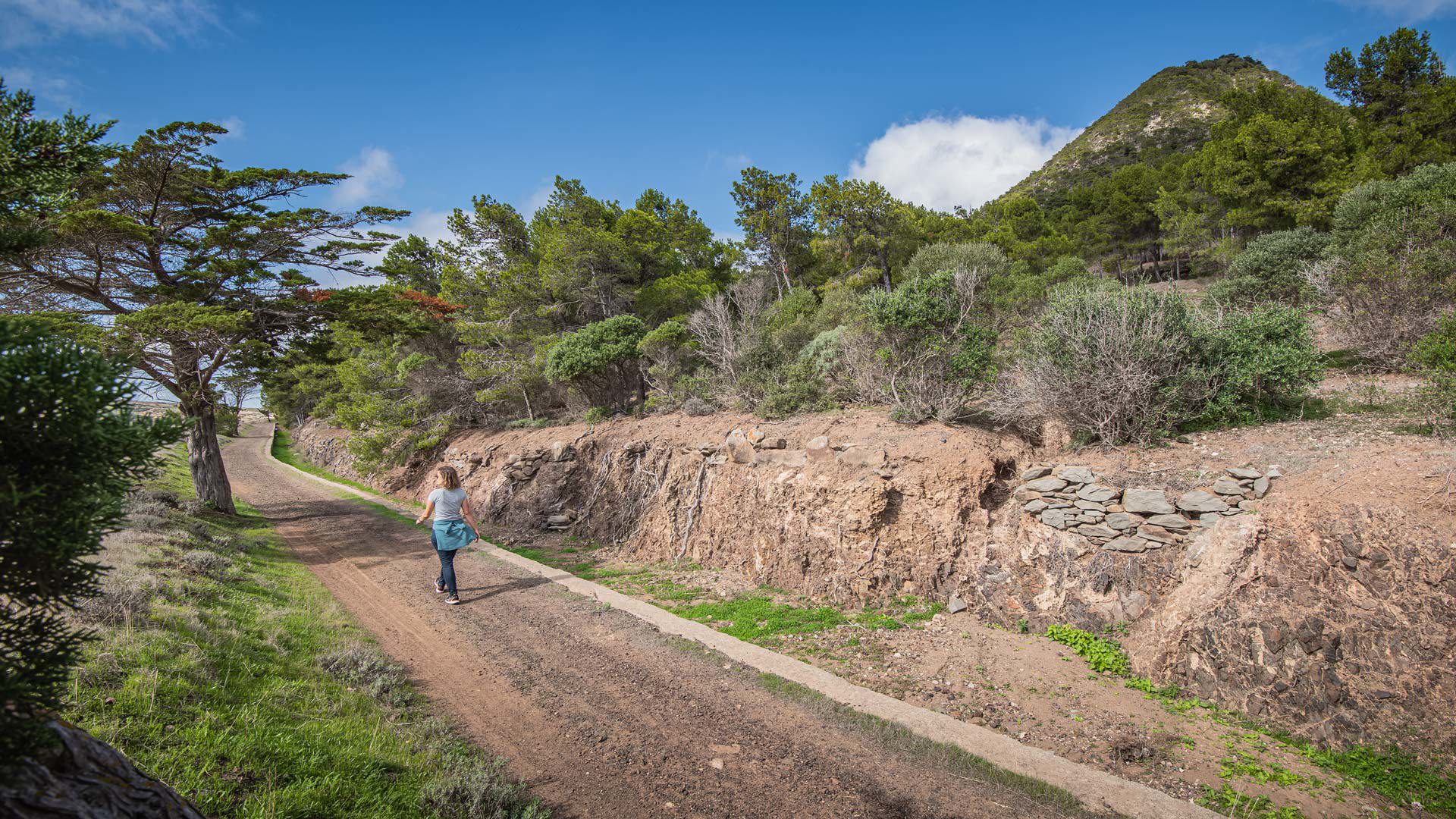
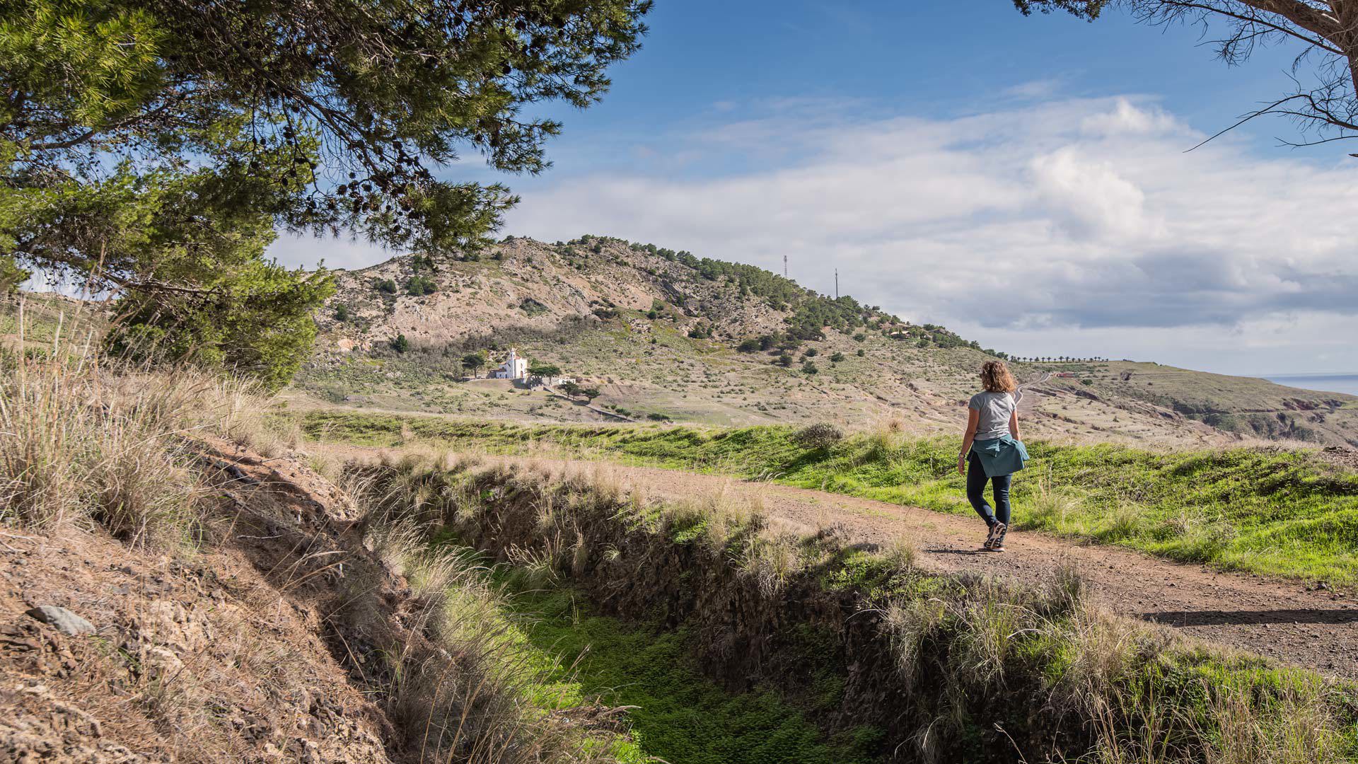
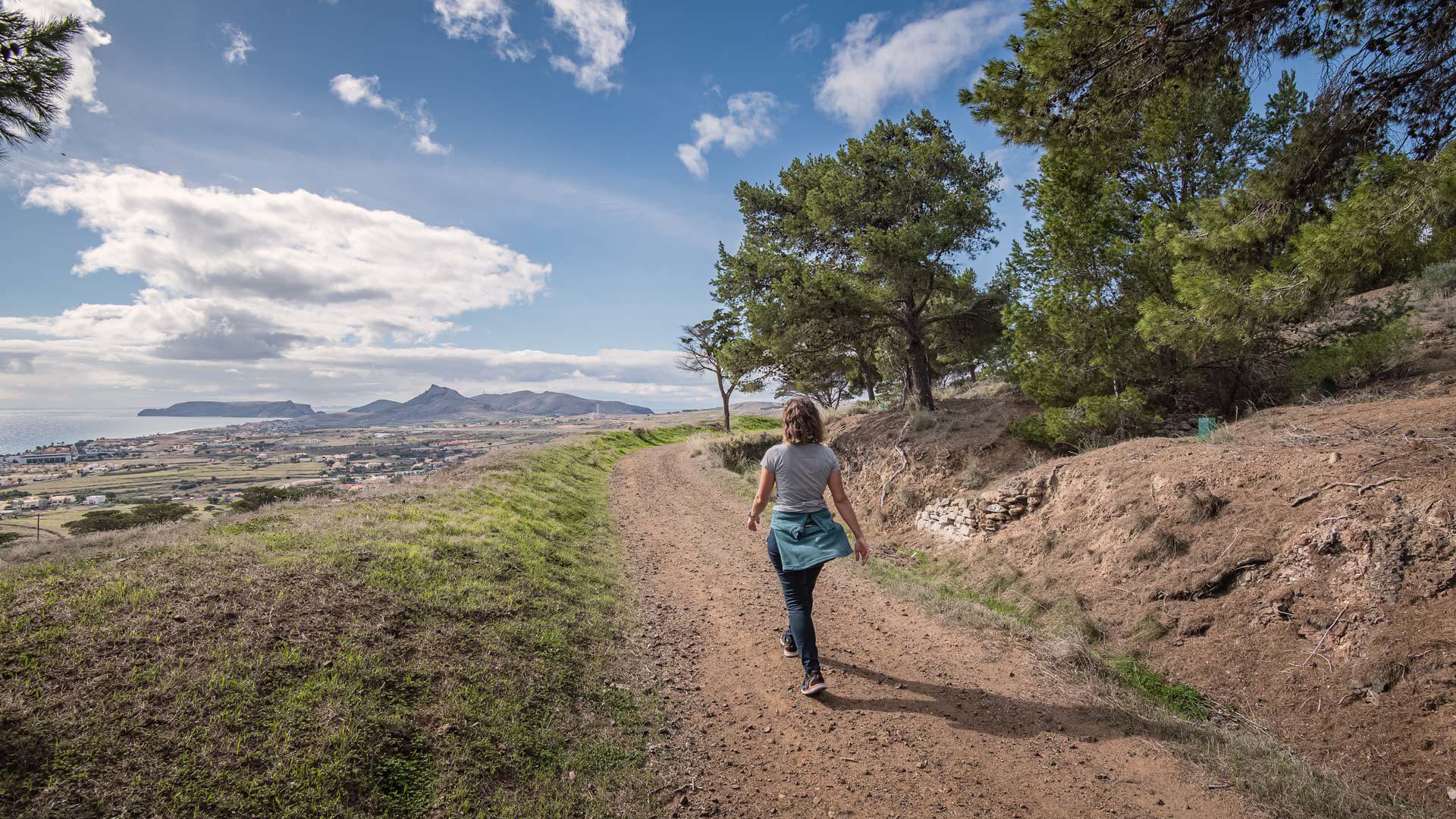
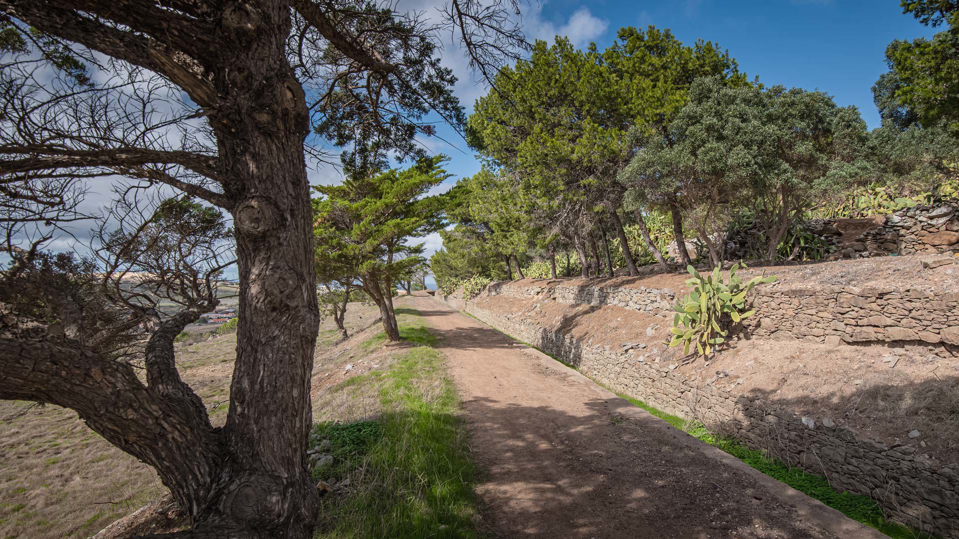
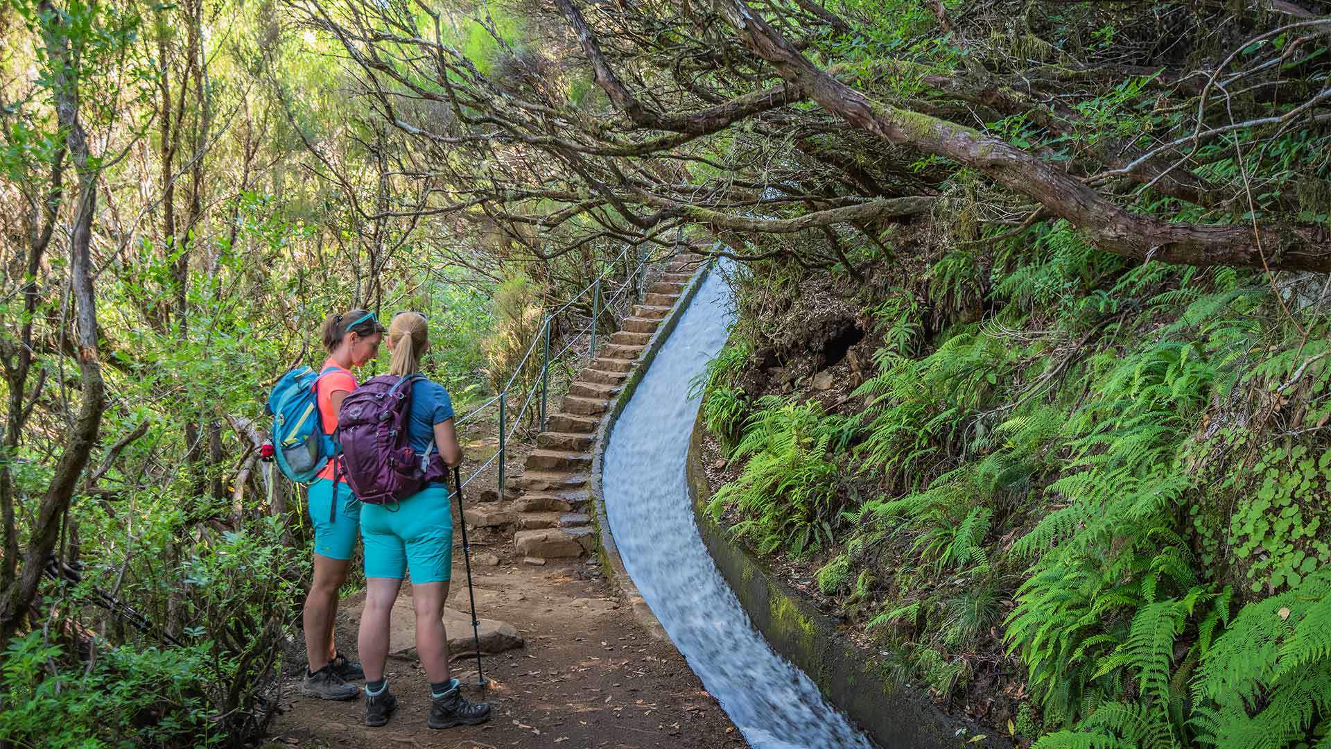
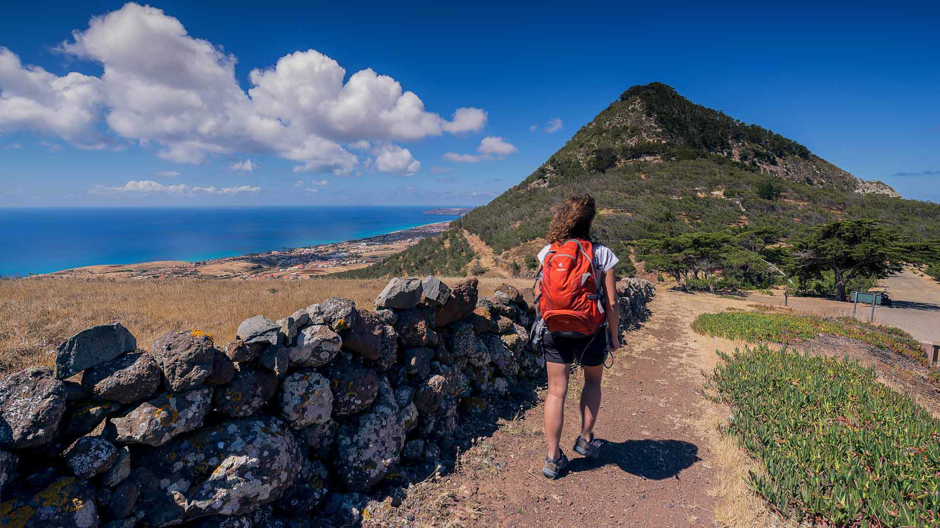
Created in the first half of the 20th century, Levada do Pico do Castelo was built to make use of rainwater for agriculture. Nowadays, this 4.1 km route also allows hikers to come into direct contact with typical Porto Santo landscapes. Beginning at regional road ER 120, Levada do Pico do Castelo was used for many years as a connection between Camacha and the Serra de Fora area.
With a duration of about 1:30 hours, it follows the foot of Pico do Castelo, skirting its southern slope. As you climb the so-called Rocha de Nossa Senhora, you will come across species of heather (Erica platycodon subsp. maderincola), poplars (Populus alba), and small clumps of creeping plants, locally known as 'iscas' (Phagnalon hansenii).
After reaching the top of the rock, called Portelinha, the trail starts descending to Serra de Fora, to then cross a 530-metre tunnel that leads to Ribeiro Formoso. During the walk along Levada do Pico do Castelo, take advantage of the various viewpoints to contemplate the coastline of Porto Santo and the Ilhéu de Baixo islet. At the end, you can visit the Nossa Senhora da Graça Chapel, built in the 1930s.
Access conditions:
To visit this area, please make the payment through the
SIMplifica portal.
Entry fee
3,00 € - Visitor > 12 years |
Exempt - Visitor ≤ 12 years
