Porto Santo Marine Protected Areas Network
Porto Santo Marine Protected Areas Network
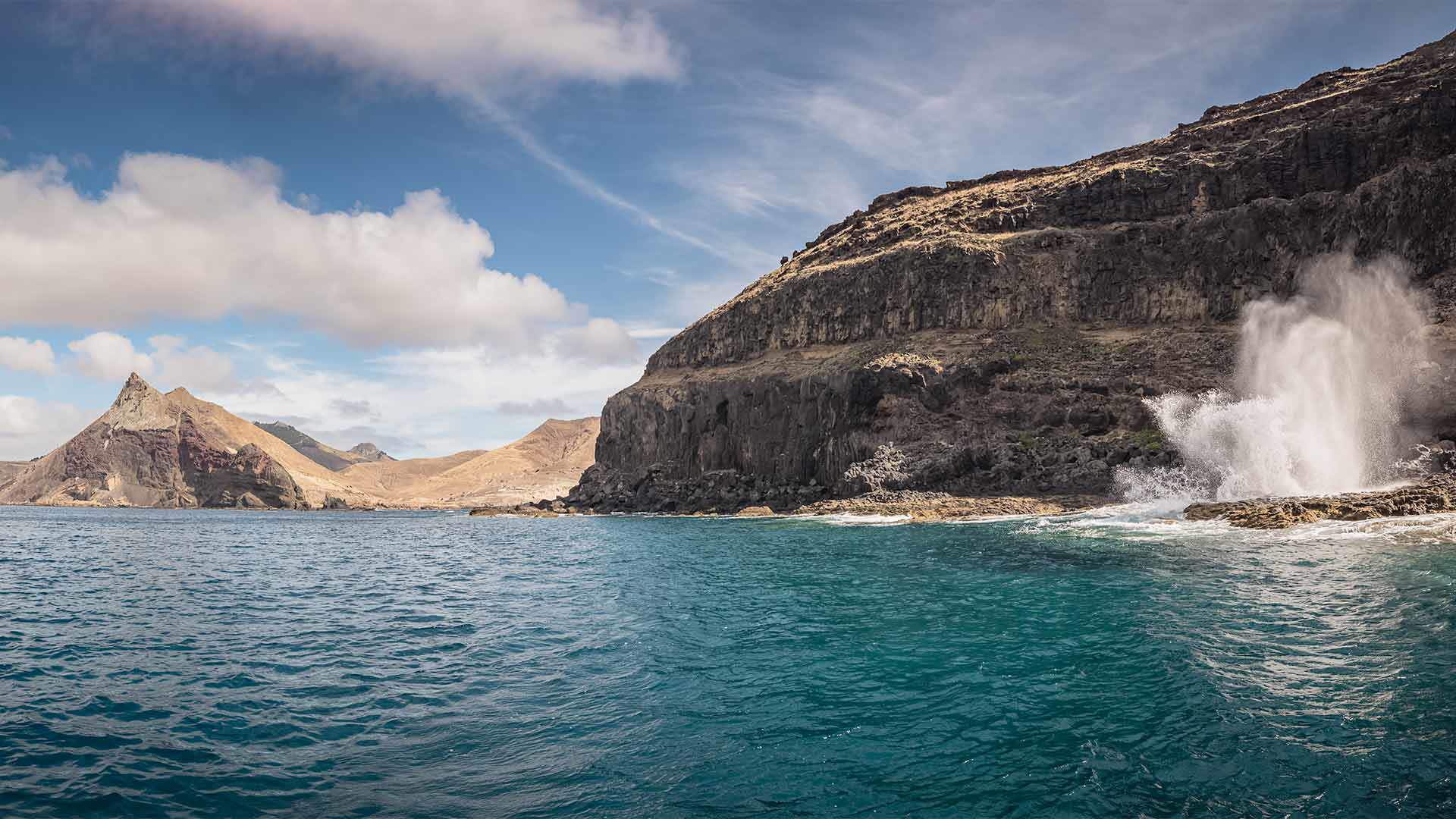
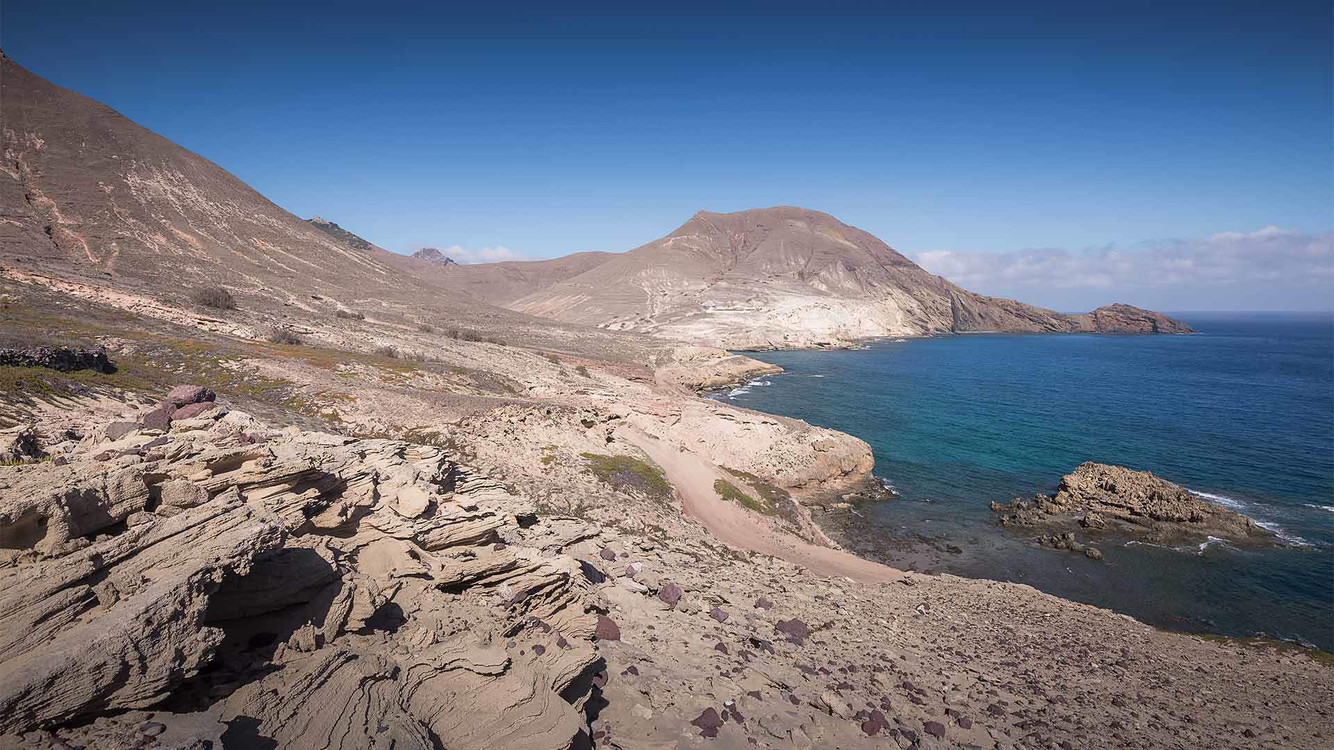
The coastal area of the island of Porto Santo is particularly relevant from an ecological, biological and landscape point of view.
The Porto Santo Marine Protected Areas Network was created to protect this natural legacy.
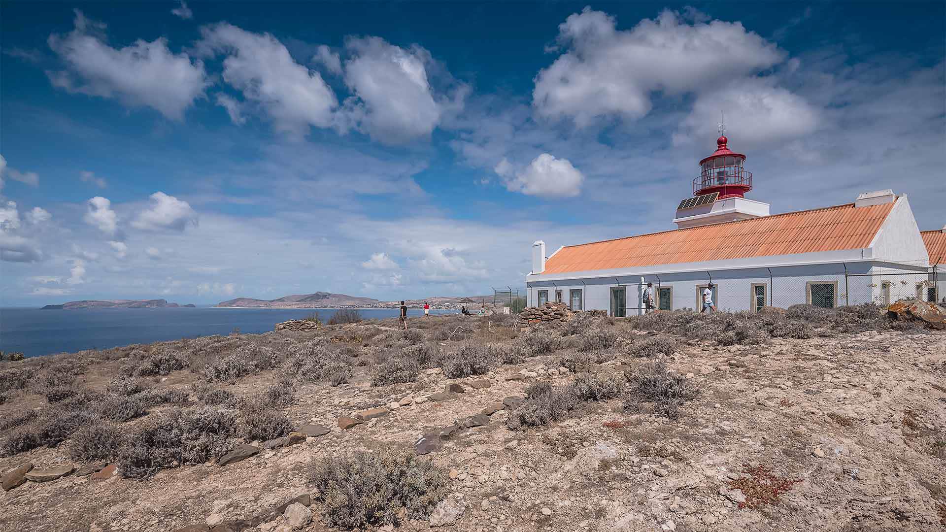
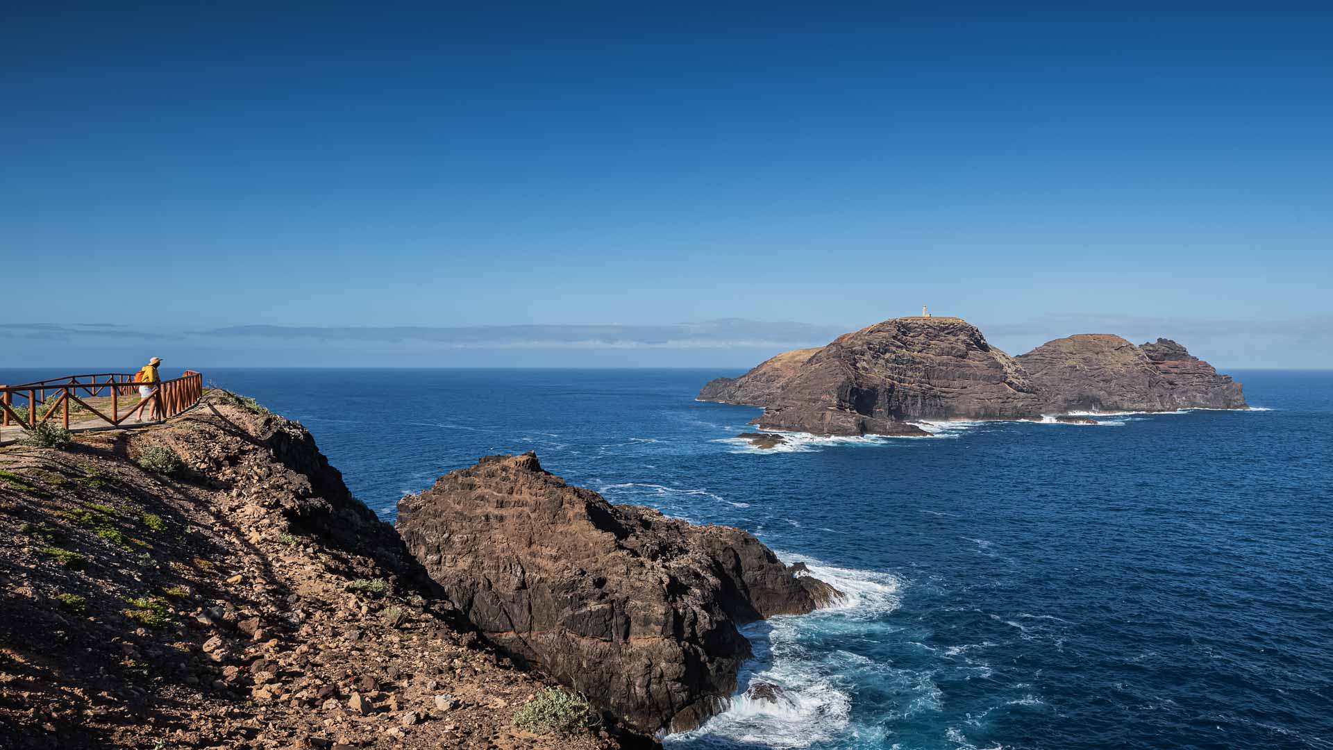
This network is made up of the land parts of the six islets in the vicinity of the island of Porto Santo: Cenouras; Baixo, or Cal; Cima, or Dragoeiros (also known as Farol); Fora, or Rocha do Nordeste; Fonte, or Fonte da Areia; and Ferro.
The Porto Santo Marine Protected Areas Network also includes the marine area surrounding Ilhéu da Cal and Ilhéu de Cima, thus covering the area where the sunken ships 'O Madeirense' and the corvette 'General Pereira D'Eça' are now important artificial reefs.
The abundant and diverse fauna that can be observed here make this a favourite spot for scuba divers.
Moreover, the Porto Santo Marine Protected Area Network is an area full of preferred nesting sites for sea birds.
Thus, these islets, considered a Special Area of Conservation and part of the Natura 2000 Network, have a high natural value despite their inhospitable appearance.
Details
The biological and landscape diversity found in this coastal area led to the creation of the Porto Santo Marine Protected Areas Network, a highly relevant natural area.